News
US Supreme Court appears split over controversial use of ‘geofence’ search warrants


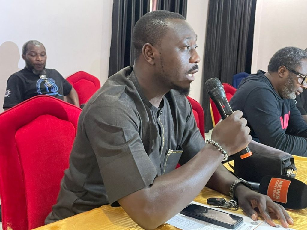
The Plateau State Ministry of Health, National Malaria Elimination Programme and Malaria Consortium has engaged media practitioners and key stakeholders ahead of the 2026 Seasonal Malaria Chemoprevention (SMC) campaign to boost public awareness and community participation in the fight against malaria.
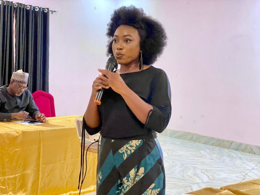
The media parley, held at the Crispan Event Centre in Jos, brought together health professionals, development partners and journalists to strategise on the successful implementation of the campaign aimed at protecting children under five from malaria.
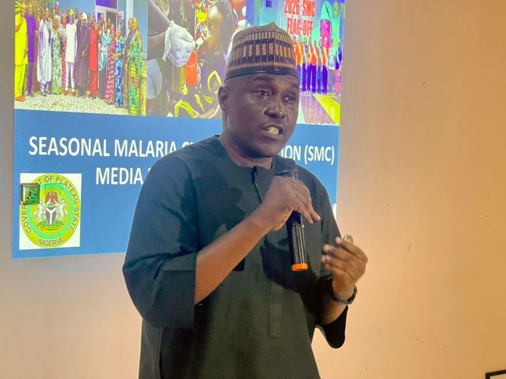
Speaking at the event, the Commissioner for Health, Dr. Nicholas Ba’amlong, described the media as a critical partner in malaria elimination, saying sustained public enlightenment remains key to the success of the intervention.
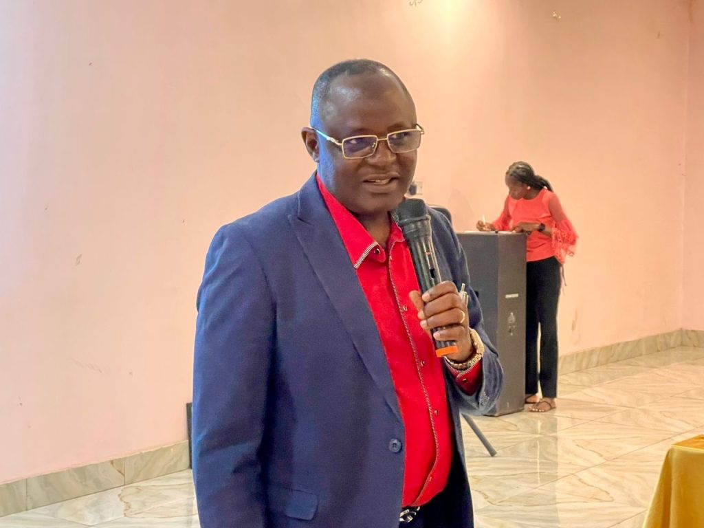
He said Plateau had made remarkable progress in malaria control, with prevalence dropping from 18.8 per cent in 2021 to 2.8 per cent in 2025 due to increased government commitment, effective implementation of the SMC programme and the support of development partners.
“The prevalence rate has dropped from 18.8 per cent in 2021 to 2.8 per cent in 2025, representing about an 87 per cent reduction. It shows that malaria elimination is possible, and with sustained support for the SMC programme, we can achieve zero malaria,” he said.


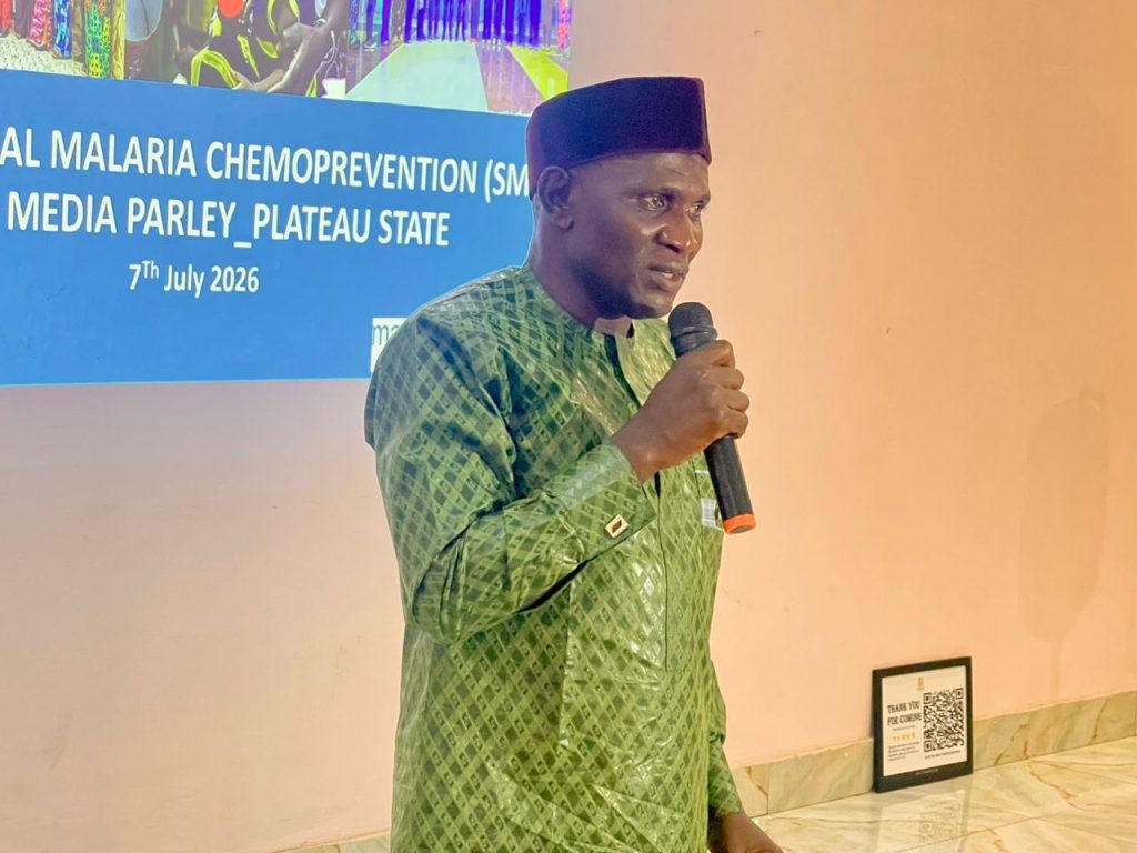
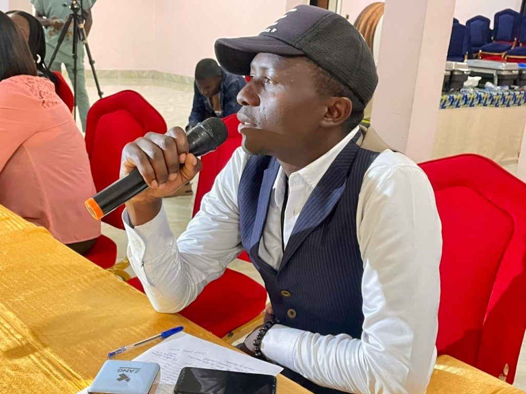
In his presentation, Project Manager of the IMPACT Project, Nrs. Ndak Andarawus, said the 2026 SMC campaign targets 1,007,652 eligible children across Plateau State.
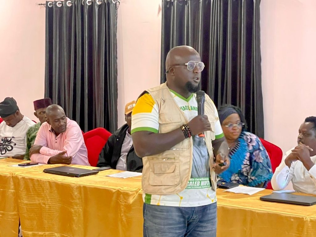
He disclosed that over 11,500 health workers, supervisors, volunteer drug distributors and community leaders had been mobilised for the exercise, while trained volunteers would administer preventive malaria drugs through house-to-house visits supported by digital monitoring systems to ensure every eligible child is reached.
Andarawus said the programme had contributed significantly to the reduction of malaria prevalence in the state through strong government support, effective partnerships and active community participation.
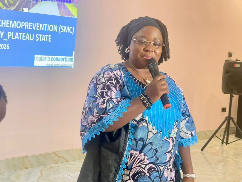
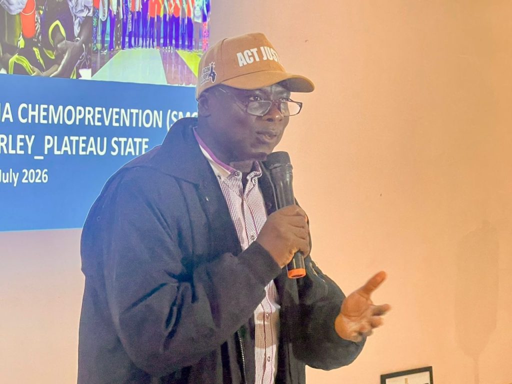
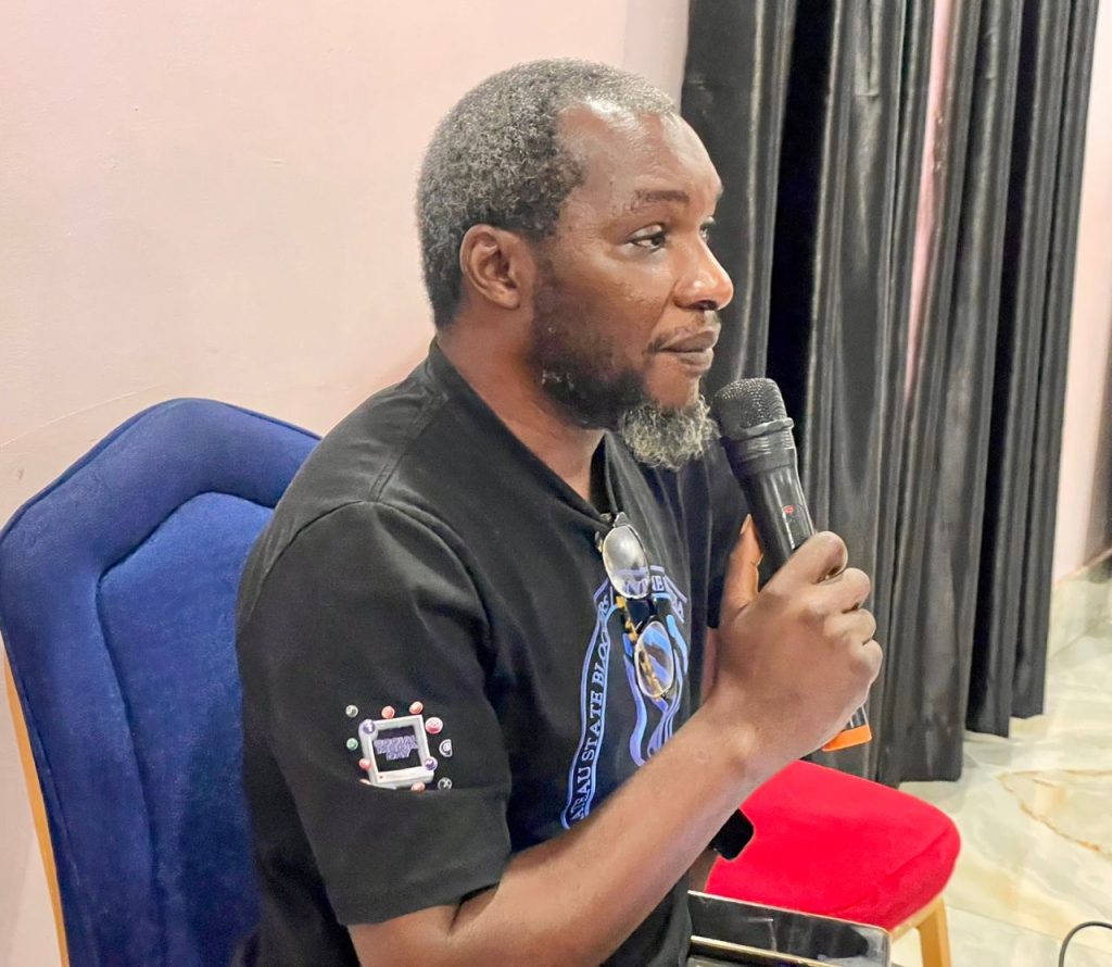
Project Manager of Malaria Consortium, Dr. Mbwas Mashor, said the media engagement was organised to strengthen collaboration with journalists and stakeholders to improve public awareness and acceptance of the SMC campaign.
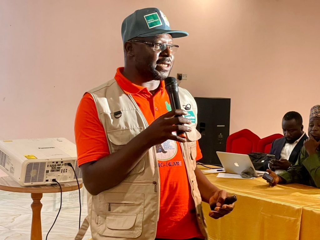
He explained that Seasonal Malaria Chemoprevention is a World Health Organisation (WHO)-recommended intervention that provides safe and effective preventive malaria medicines for children aged three to 59 months during the peak malaria transmission season.
“We want the media to strengthen public awareness, promote accurate information and support community acceptance of the SMC campaign so that every eligible child is protected,” Mashor said.
The Permanent Secretary of the Ministry of Health described the media parley as timely and urged journalists to sustain accurate reporting on malaria prevention to improve community participation and campaign success.
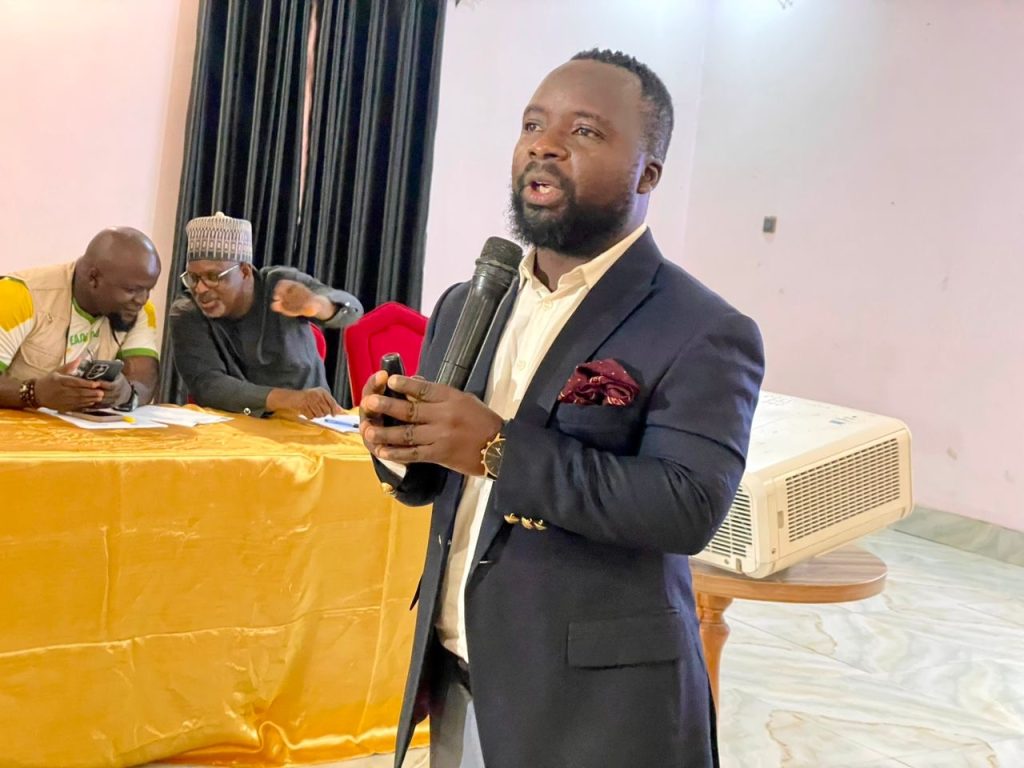
Also speaking, SBCC Consultant, Mr. Kaskida Yilyok, said the media plays a vital role in shaping public perception, combating misinformation and encouraging caregivers to ensure eligible children receive the preventive medicines.
Programme Officer, Miss Kachollom Gyang, stressed that safeguarding remains a key component of the SMC programme, saying staff, partners and volunteers are regularly trained to protect children and vulnerable adults from abuse and exploitation.
She added that the programme operates a zero-tolerance policy against abuse and encouraged members of the public to report any safeguarding concerns for prompt investigation.
The Plateau State Chairman of the Nigerian Medical Association (NMA), Dr. Yilji Kumtap, commended the Ministry of Health and the State Malaria Elimination Programme for the progress recorded in malaria control and pledged the association’s continued support.
Similarly, Pharm. Godwin Nimyel, representing the Plateau State Chairman of the Pharmacy Society of Nigeria (PSN), reaffirmed the society’s support for the programme, stressing the need for quality-assured medicines and strict regulation to eliminate substandard drugs.
Also, Dr. Molsat Emmanuel Sydney, representing the Plateau State Primary Health Care Board, lauded the Ministry of Health, the State Malaria Elimination Programme and Malaria Consortium for their efforts in reducing malaria, assuring of the board’s continued support for the SMC campaign at the grassroots.

-

 News3 days ago
Sports commission reaffirms commitment to hockey revival
-
Business1 day ago
Plateau Govt Procures 500 Truckloads of Fertilizer, Subsidises 50kg Bags at ₦20,000
-
News2 days ago
Weightlifting Federation’s Technical Director Sefiya Onubaye Reveals Advantages Of Team Nigeria’s ‘Final Camping’ In Aberdeen
-
News3 days ago
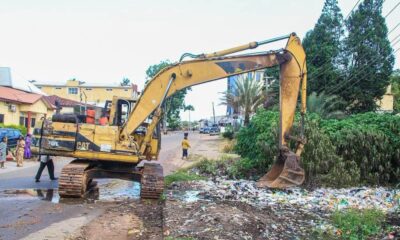
PEPSA Intensifies Drainage Clearance and Flood Response Across Jos