
News
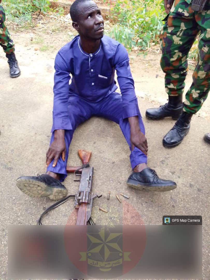
Military arrests two suspects, recovers weapons after Plateau crisis
News
‘I’m not dead’ – Abia APC Senatorial candidate, Erondu cries out over alleged name substitution

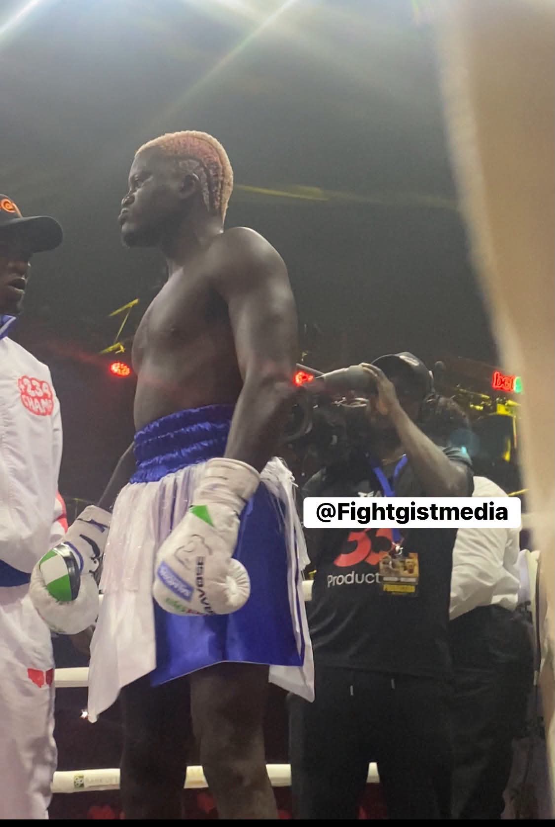

Nigerian street-pop star Habeeb Okikiola, popularly known as Portable, has expressed regret over the controversial ending to his celebrity boxing rematc against actor Charles Okocha in Lagos.
The highly anticipated bout, billed as an opportunity to settle the rivalry between the two entertainers, ended prematurely after Portable walked away from the contest following a chaotic opening round.
The dramatic development left fans and spectators stunned, as the expected boxing showdown quickly descended into disorder, with tensions between the two fighters spilling beyond the normal boundaries of the contest.
In a statement issued by his management, Zeh Nation/Dr Zeh, the singer’s team apologised to the organisers, Balmoral Group, the event crew, fans, friends and family members who had turned out to support him.
The management acknowledged the disappointment caused by Portable’s decision to leave the fight after the opening round while appealing to the public to respect his decision and perspective.
“We understand the disappointment caused by the outcome of the fight and by Portable’s decision to step away after the first round,” the statement said.
The team also accepted responsibility for the disappointment generated by the incident and expressed appreciation to Portable’s supporters for their continued loyalty despite the controversy surrounding the bout.
Zeh Nation further commended Balmoral Group and everyone involved in organising the celebrity boxing event, while apologising for any inconvenience caused by the unexpected conclusion.
According to the management, the reaction to the incident has been noted, with the experience expected to serve as a learning opportunity for Portable and his team.
“We have taken note of the feedback, and we are committed to learning from this experience. We promise to come back stronger and do better next time,” the statement added.
Portable’s early departure brought an abrupt end to a rematch that had attracted considerable attention from both entertainment and sports fans in Lagos.
Rather than producing the decisive conclusion many had anticipated, the contest ended in controversy, leaving Charles Okocha and the event organisers to deal with the fallout from a chaotic night inside the ring.
The singer’s management concluded by thanking fans for their continued support, understanding and belief in Portable, despite the circumstances surrounding the bout.
-

 News2 days ago
Prophet El-Buba Boosts Peace Ambassadors JTF with Security Outposts, CCTV and Patrol Bikes
-
Health3 days ago
Nigeria seeks stronger domestic funding to sustain HIV response
-
News4 days ago
Cyera agrees to acquire Oasis Security for $1B to safeguard proliferating AI agents
-
News3 days ago
Glasgow 2026: History Made! Abduljabar Adama Finishes Fifth in Commonwealth Games Final, Announces Nigeria’s Arrival in World Swimming